Author: Kendra Hicks
“The trip is really physical” It was good to get this warning from a colleague and friend who had just completed the trip with a 70-year-old client. I was super impressed she wanted to guide it. It’s not a typical route to guide, let alone do at all. Can confirm, it was physical….
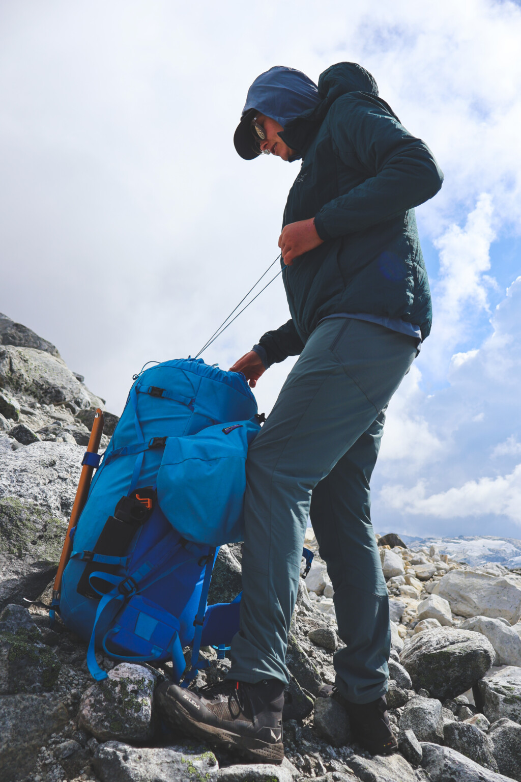
Leah Evans, pro-skier/activist/recycling guru, (and good friend), saw photos from the hiking route that goes from Princess Louisa inlet to the end of the Elaho valley from a friend and told herself she had to do it one day. She roped me and Ali Schreoder into a crew of five, including a filmer, Colleen Gentleman, and photographer, Jessy Braidwood—gratefully supported by Patagonia—to complete this journey.
We started at Princess Louisa inlet. A ferry, a shuttle, and a water taxi later, we arrived surrounded by yachts and tourists who make the journey to the world class inlet. A man passed us on the dock and asked us where we were going. We said: “to Squamish!” Having not much of an idea of what that really entailed, he said “Okay, well enjoy your walk!” Which later on in the trip became very quotable as we were bushwalking in double overhead fireweed, and in fact, not really enjoying our walk.
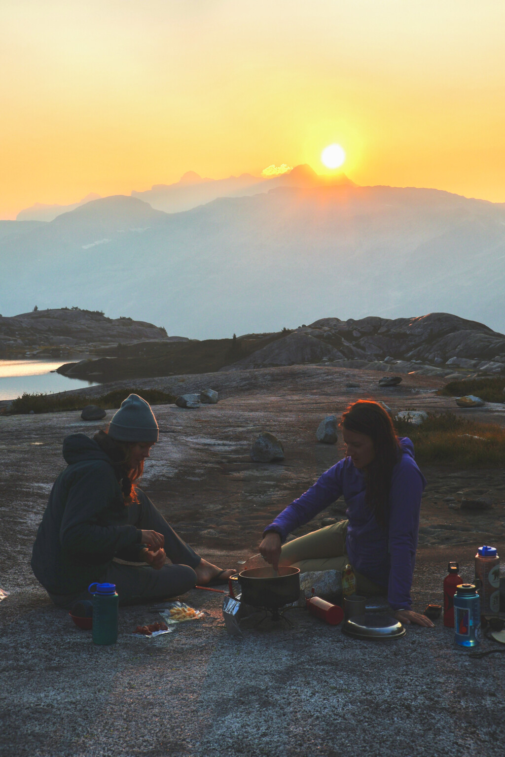
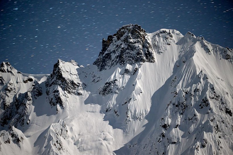
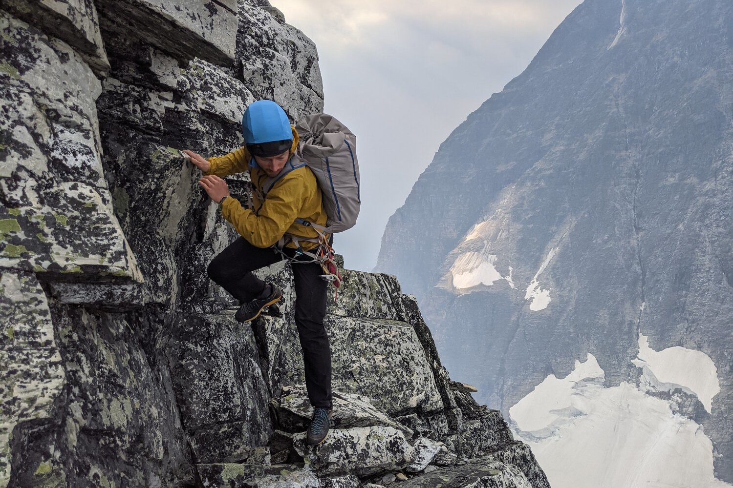
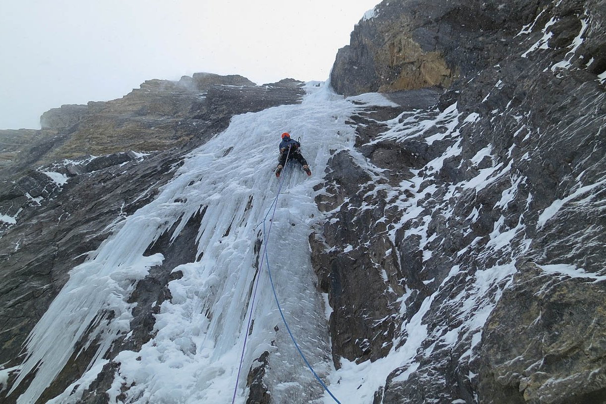
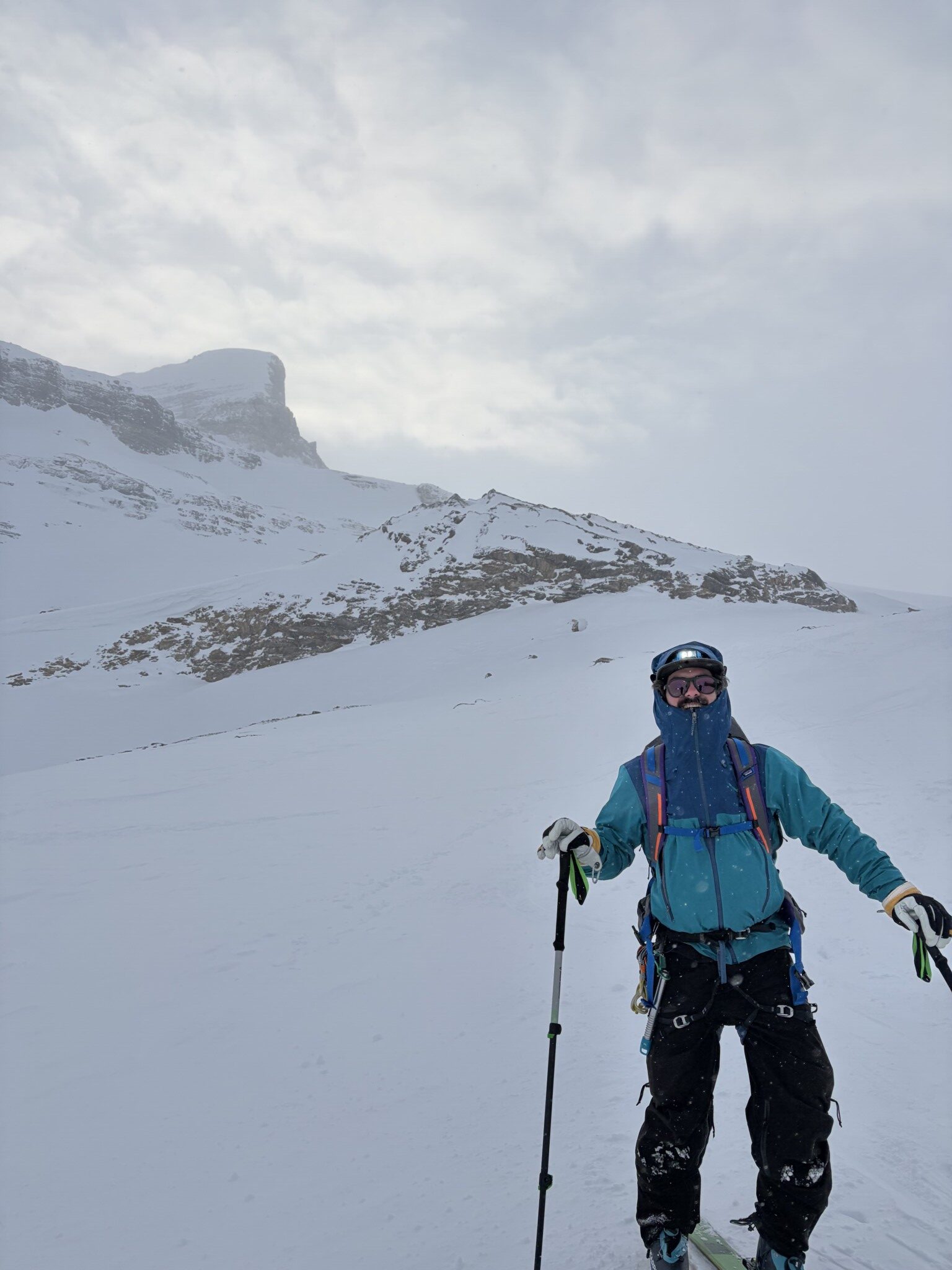
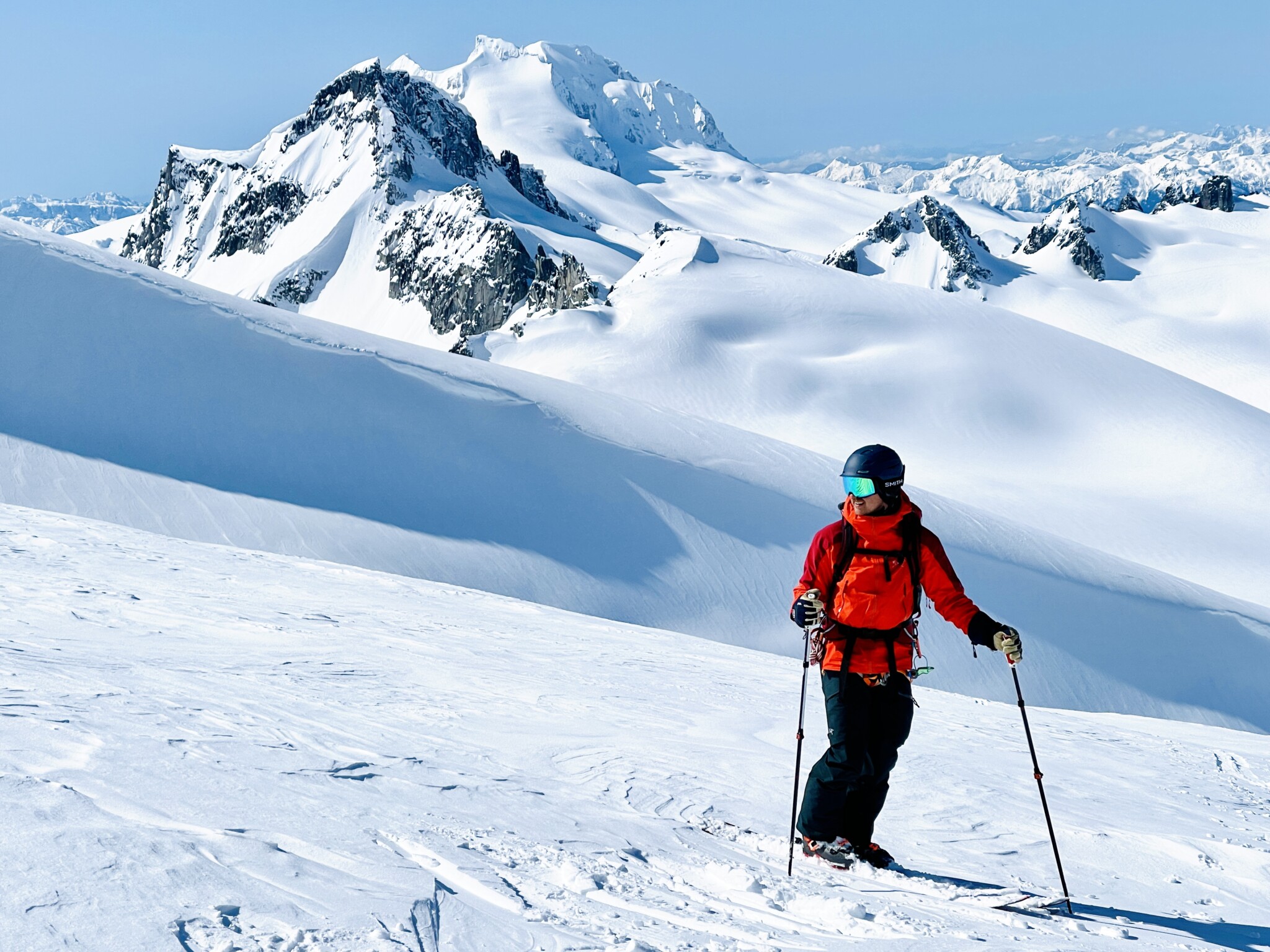
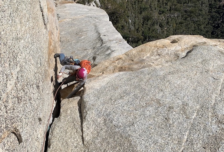
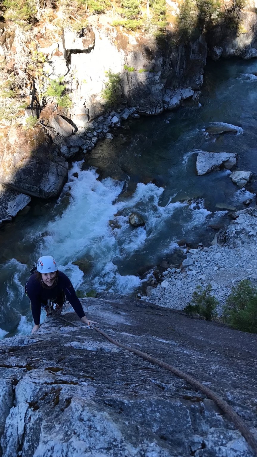
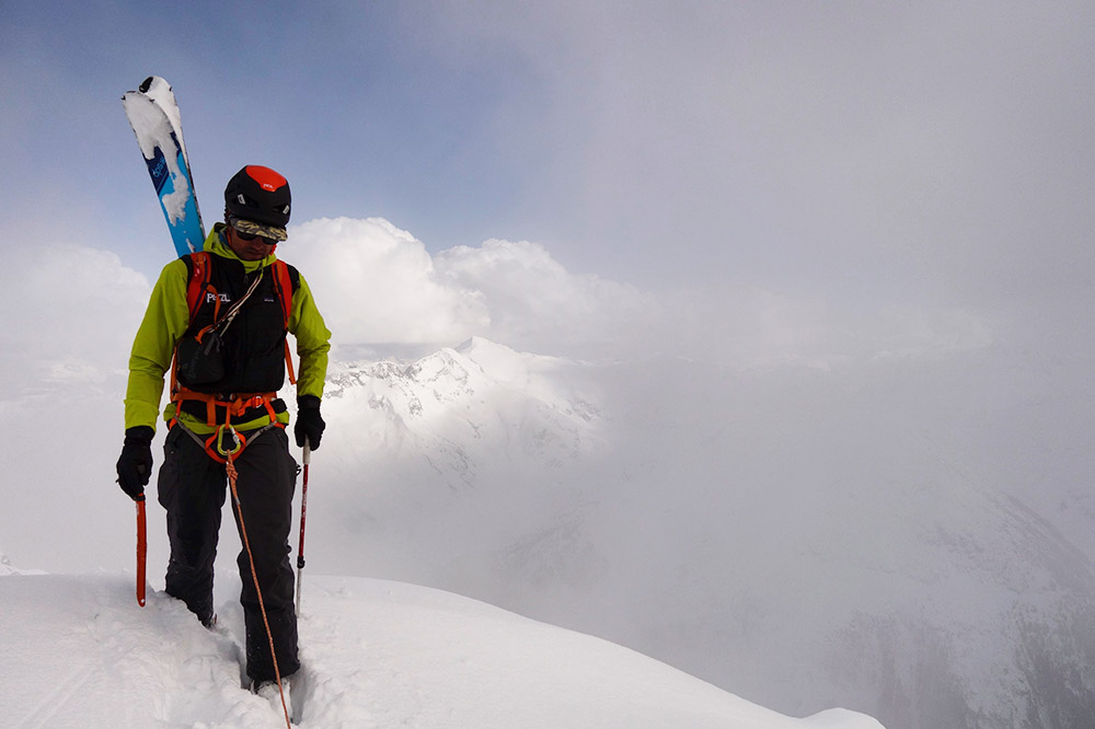
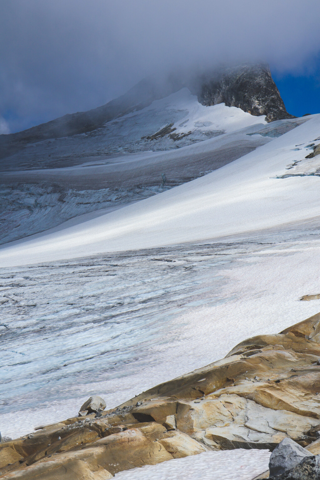
The route climbs from the inlet and spits you out in the alpine at some of the most beautiful lakes I’ve ever been to, which is kind of saying something. You end up climbing to the sky and traverse under the beautiful John Clarke peak, across a moraine, a glacier, and a loose rock ridge with sections of broken and steep ice. What became challenging in this section was the lack of visibility and the rain that ensued as we tried to cross the big mountains. After our high point, we descended to find a windy camp spot on some rock slabs, and under beautiful seracs on SE end of John Clarke.

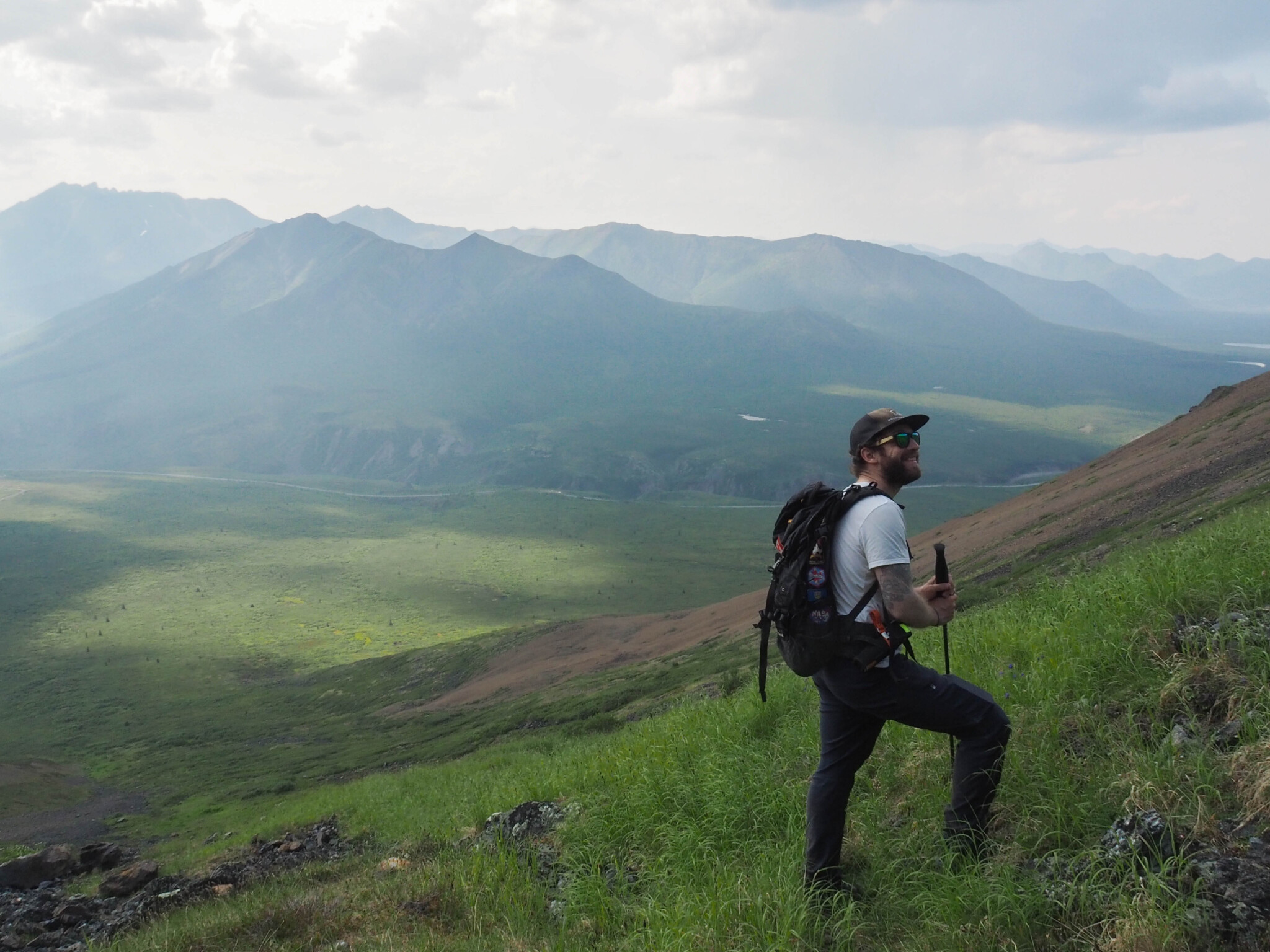
On day four, we woke up early to cross the remaining glacier and begin our descent into the Elaho valley in the fog. Soaked by the rain, progress was slow, but such an amazing experience climbing on the pristine granite, under and over giant boulders at ridgeline. We arrived at our potential camp spot at 4pm and decided to just keep going down Simms creek as the next day our pickup was scheduled for noon and we were unsure how much logging road we would have to hike. After a devastating fire which wiped out the entrance of the Simms valley a few years ago, the fireweed absolutely exploded and covers every inch of the terrain, almost twice my height. I’m 5’4”. You can do the math. We were climbing over giant downed hemlocks, bushes almost impenetrable, and sections so steep we would have to bum slide. Accidentally setting off the bear spray and Jessy being blinded was another huge highlight. The trail was easily lost and we ended up bushwhacking until 1030pm and bivied on a forested ledge. Luck was on our side as the rain stopped, and the bugs were minimal. We thought back to our “vacation” on the rock slabs by the lake, and said “boy this trip really took a turn.”
The next morning, I woke to Colleen saying “Wake up, let’s get the hell out of here.” After scoping our route off the cliff band for 45 minutes we found a way out. After about 1000m of descending and bushwhacking we found a faint trail. Mixed emotions here. What a treat it was to finally walk without branches hitting our faces. We made it to our shuttle driver right on time.
When all was said and done, it was an adventure at its finest. Good and thoughtful decision-making with limited beta, challenging weather, and big rugged coastal terrain made for a wildly memorable trip. The trip resembled a ski traverse, but with a huge array of ecosystems completely opposite from one another. A different way to move than winter. The stakes aren’t as high but the decisions were well thought out and allowed for beautiful memories with people you love in the mountains. That’s what it’s all about.